The digital twin for real-world projects
IntelySite is a modern platform for creating, sharing and publishing digital twins of properties, projects and geographic areas. It brings maps, orthophotos, 3D data, documentation and media together in one web solution that works equally well for internal projects and client portals.
Everything in one platform

Digital twins
Create living digital copies of properties, industrial sites, nature and infrastructure.
- Maps
- Property boundaries
- Orthophoto
- DEM/DSM
- Point clouds
- 3D models
- GIS data

Orthophoto & drone data
Import or produce high-resolution orthophotos directly in the platform.
- GeoTIFF
- WMTS
- PMTiles
- Raster layers
- Terrain models
- Aerial imagery

Interactive map platform
Build maps with unlimited layers – draw and measure straight in the browser.
- GeoJSON
- KML
- KMZ
- GPX
- Shape
- Raster
- Vector data
- Custom layers
- Drawing tools
- Measurement tools
Media & documentation
Keep all documentation in one place, pinned to the right spot on the map.
- Images
- Panorama
- 360°
- Video
- Documents
- Audio
- Notes
Property portal
Built for estate agents, property owners and development projects.
- Property data
- Key points
- Measurements
- Documents
- VR tours
- Panorama
- Aerial photos
- Project status

Client portal
Share a project with clients in seconds – with full control of access.
- Public links
- Password protection
- White label
- QR codes
- Versioning
- Mobile ready

Measurement & analysis
Professional GIS functions in the browser, with nothing to install.
- Distance
- Area
- Volume
- Coordinates
- Profiles
- Elevations
- Feature info

Publishing
Publish with one click and distribute globally.
- Automatic
- Cloudflare CDN
- Global delivery
- Fast loading
- SEO-ready pages
- Shareable links
Security
Built for companies and long-term stewardship.
- Role control
- Project permissions
- Secure links
- Version history
- Cloud storage
- Backup
API & integrations
Connect IntelySite to the systems you already work in.
- REST API
- GIS
- Lantmäteriet
- Drone data
- GNSS
- Multi-format export
What can you build with IntelySite?
One platform, many project types – here are setups we build most often.
Property presentation
Orthophoto, VR and panoramas in one shareable presentation.
Inspection portal
Drawings, photos and comments pinned to the right location.
Digital twin of industry or port
The facility in 3D with measurement data and documentation.
Forest inventory
Drone data and GIS layers for stands and treatment planning.
Design & planning portal
Construction and development data, collected and versioned.
Marine documentation
ROV, sonar and underwater imagery in geographic context.
Drone mission delivery
Orthophoto, DSM and point clouds as an interactive deliverable.
Media portal for agents
Clients pick and download images, panoramas and VR themselves.
Where it is used
- Property
- Development
- Forestry
- Energy
- Industry
- Ports
- Infrastructure
- Marine
- Agriculture
- Tourism
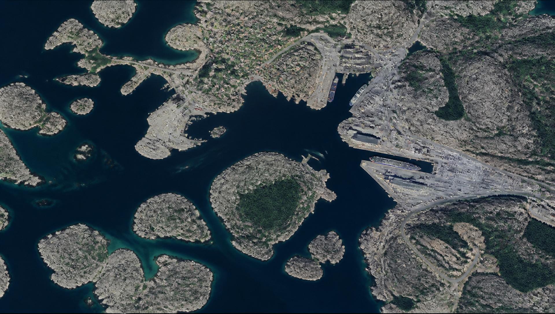
More than a map portal. A complete platform for digital twins.
IntelySite makes it possible to gather all geographic information, media and documentation in one place. Whether the project is a single house, an industrial estate, a municipality or an entire landscape, the result is a living digital twin that is easy to share with clients, colleagues and decision makers.
Want to see the platform live? Get in touch and we'll walk you through it.