Lysekil · Working along the whole coast

Digital twins for sea, air and land

INTELY — INdustri TEknik LYsekil

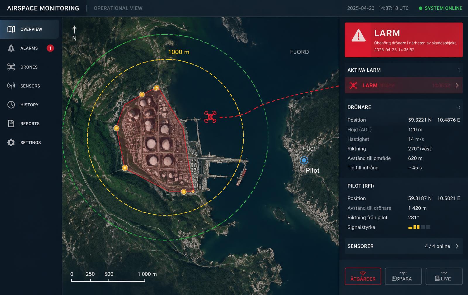
We map, inspect and visualise the physical world with ROV, drones and GNSS – and build the tailored applications that turn your data into something you can act on.

Bohuslän coast with a drone in the air, ROV under the surface and GNSS tripod on the cliffs
Services

Mapping without borders

Four disciplines – one partner from field work to finished application.

ROV

Underwater inspection

Structural inspection, seabed surveys, pipes and hull cleaning – with high detail even at significant depth.

UAV

Drones & photogrammetry

Orthophotos, 3D models, volume calculation and thermography for technical inspection of buildings and facilities.

GEO

Surveying & geodata

Setting out, terrain models and geodata for construction, planning and precise documentation.

APP

Custom apps

Web portals, mobile apps and dashboards that turn your captured data into everyday tools.

The INTELY Platform

From raw data to a finished application.

The platform has grown – we cover the full chain from inspection and 3D model to bespoke software built for what you actually do.

01

Inspection & data capture

Raw data from ROV, drones or GNSS – correctly georeferenced from the start.

02

3D twins & visualisation

Interactive 3D environments where you can navigate the site, measure, compare and decide.

03

Bespoke application

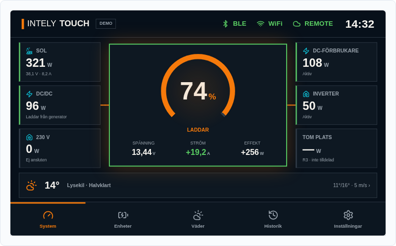
A dashboard, a field tool or an app – built around your process and connected to your measurement data.

Free web tools

Tools that make daily work easier

Built for contractors, municipalities and surveyors. Everything runs in your browser – nothing is uploaded.

See all tools
Live

Volume calculator

Calculate excavation volumes and truck loads from area and average depth, prismatoid formula or an uploaded height grid.

Live

Coordinate converter

Convert between SWEREF 99 TM, WGS84, RT90 and local SWEREF projections. Single points or batch – fully in the browser.

Live

DXF / KML / KMZ viewer

Drop in a DXF, KML or KMZ and see the contents on a map. No upload – the file stays in your browser.

Coming soon

EXIF & GPS viewer

Drop in a drone or phone image and see its position on a map plus altitude, heading, camera and time. Coming next.

Coming soon

Area measurer on map

Draw an area on the map and get its size in m² and hectares plus perimeter. Coming soon.

Coming soon

Elevation profile along a line

Draw a line on the map and get an elevation profile from open DEM data. Planned.

Local roots

Based in Lysekil, working along the whole coast.

We know the Bohuslän archipelago from both deck and air – combining hands-on measurement with modern software development for clients across the Nordics.

93Projects since 2022
3Elements: sea, air, land